Agartala
Home | Agartala
Agartala is the capital of the Indian state of Tripura. It lies on the Haora River and is located 2 km from Bangladesh. It has several temples and palaces. The population of Agartala was 367,822 in 2004 after the municipal expansion (189,327 in the 2001 census)
History
Foundation
During British Raj, Agartala was the capital of the erstwhile 'Hill Tippera' state, it became a municipality in 1874-75, and in 1901 had the population of 9,513 .
Agartala Municipality
The Agartala Municipality was established during the reign of Maharaja Chandra Manikya (1862-1896) within an area of 3 sq. miles having a population of only 875 by a royal proclamation in the last part of 1871 A.D. Mr. A.W.S.Power , the Ist British Political Agent for Tipperah was also appointed as the Chairman of the Agartala Municipality in the year 1872 A.D. who held office from 1872-73 A.D.
Planned city
Maharaja Bir Bikram Manikya Bahadur is called the founder of the planned City of Agartala. During the period of the early forties, the entire town area was re-organised infrastructurally in a planned manner with strong roads and a market building.
Geography and climate
State of Tripura having 4 districts, roadways & small railway network.Agartala is located at 23.84° N 91.28° E. It has an average elevation of 16 metres (52 ft).
The city is situated in a plain along the Haora River, though the city also extends to the low lying hills on its northern parts.
Agaratala has extreme climate all through the year.
Summer : (March to June) - Hot
Monsoon: (July to September) - Humid and lots of rainfall
Winter : (October to February) - Cold
Neighbourhoods
Agartala city consists of many Paras, which means "locality" in Bengali. Each neighbourhood or para is usually a municipal ward or division also.
These areas are further subdivided into residential blocks, such as Banamalipur which is divided into North Banamalipur, Madhya Banamlipur, South Banamalipur, etc.
The city is expanding very rapidly and is expected to grow and include many more peripheral towns and municipalities in coming years.
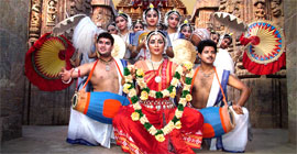
Among the native Tripuri Festivals, the most famous are Kharchi & Garia Poojas.
Languages
Bengali is the common language spoken in Agartala. Other languages spoken include Kokborok (Tripuri language), Manipuri , Chakma, Nepali, etc.
Religion
Laxmi Narayan Bari temple in Palace Compund. Hinduism is the dominant religion and there are many temples across the city. One of the beautifully structured prominent temple is 'Buddha Mandir' which is located near the VIP road. Some prominent temples are:
Laxmi Narayan Bari temple in Palace Compound.
Jagannath Temple.
Ramthakur's Ashram in Banamalipur.
Durga Bari Temple in Palace Compound.
The religion Islam has also many followers.
Christianity is also a growing religion with the majority of the Christians among the native Tripuri people. A majority of the Christians are of the Baptist denomination. The churches are listed below.
Town Baptist Church in Arundhutinagar
City Baptist Church in Krishnanagar
Capital Baptist Church in Krishnanagar
Central Baptist Church in Palace Compound
St. Joseph's Catholic Church in Durjoynagar
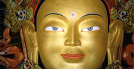
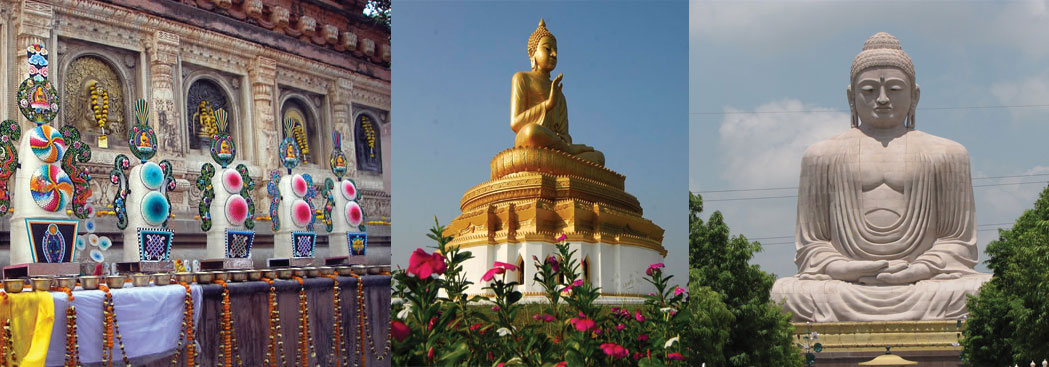
Buddhism is also followed by the Chakma also known as changma people and there is a Buddha Mandir temple in Abhoynagar.
Transport
Road
National Highway 44 connects Agartala to Assam and the rest of India by road. The highways (NH44 , NH 44A) connects Agartala with Silchar (288 km), Guwahati (599 km), Shillong (499 km), Dharmanagar (200 km) and Aizawl (443 km). A bus service also connects it to Dhaka (150 km).
Agartala is well connected by road to other parts of Tripura state. National highway 44 has been extended to the south, thus improving the road connectivity between Agartala & south Tripura. Buses, Jeeps trekkers & SUVs are the most popular public carriers, and cars and vans are usually used for private hire.
The main mode of transport within the city consists of a network of cycle rickshaws, auto rickshaws and buses.
Airport
Agartala is also connected by air, the modernised Agartala Airport connects it to other cities in India. There are daily flight connections to Delhi, Kolkata, Chennai, Shillong and Guwahati.
The major Airline Service Providers are Air India, Jet Airways, Indigo Airlines, Kingfisher Airlines, Air Deccan,etc.
Railways
Agartala has been fully connected to other cities in India w.e.f 28th June 2008.However, the routine rail services to Agartala would start by mid-August after clearance from the railway safety commissioner, said P Shivkumar, general manager (construction) of NFR. The foundation stone for the 119-km Kumarghat-Agartala railway project was laid in 1996 by former prime minister H D Deve Gowda. Agartala is the second capital cityafter Guwahati, Assam in the northeast to be connected to the country's extensive railway network.
Communications
Being the capital of a state Agartala has access to all the modern communications network and infrastructure.
Sports
Agartala has a good sporting tradition, with many sports and games being played. Especially favourite is football with its own city football league with clubs from various neighborhoods and localities. Tripura has a state team which plays in the Eastern division of the Ranji Trophy Championship, the National Cricket competition of India.
The main stadiums are the Badarghat Stadium, Tilla Cricket Stadium and the Umakanta Academy Mini-Stadium.
Tourism
Places of interest
Ujjayanta Palace Tilla - Maharaja Bir Bikram , Tripura University buildings, football ground, international cricket stadium, picturesque lush landscapes & serene natural lakes.
Ujjayanta Palace - Palace of the Tripura kings, now converted to state legislative assembly.
Jagannath temple - Hindu temple of Vaishnava of thought.
Umamaheswar temple - Hindu temple of Shaiva & Shakta of thought.
Venuban Vihar
Budhha Mandir
Puratan Agartala
Parks
Rabinra Kanan
Children's Park
Nehru Park
Museums
Tripura State Museum at Post Office Chowmuhani.